Hurricane Sandy, the hangover

Newport, The day after Sandy.

By and large Newport missed the big hit that Long Island Sound,  New York City, New Jersey-and other areas- were pummeled by.

I am just back from a tour around town and apart from the trees & branches down, it looks remarkable normal. As far as I can tell, no boats got washed off their moorings. According to several news sources around town, there was about 2 feet of water in the Bannisters Wharf & Bowen’s Wharf area, America’s Cup Ave. Thames St., south to Wellington Ave. and Lower Thames St. Driving along America’s Cup Ave. this morning past the Wharfs, it was hard to tell by observation that this was the case.Regardless the Newport Daily News has a picture of a guy paddling a kayak with the south side of the Seaman’s Church Institute in the background.

Out at Sail Newport & Fort Adams, it looked like this:
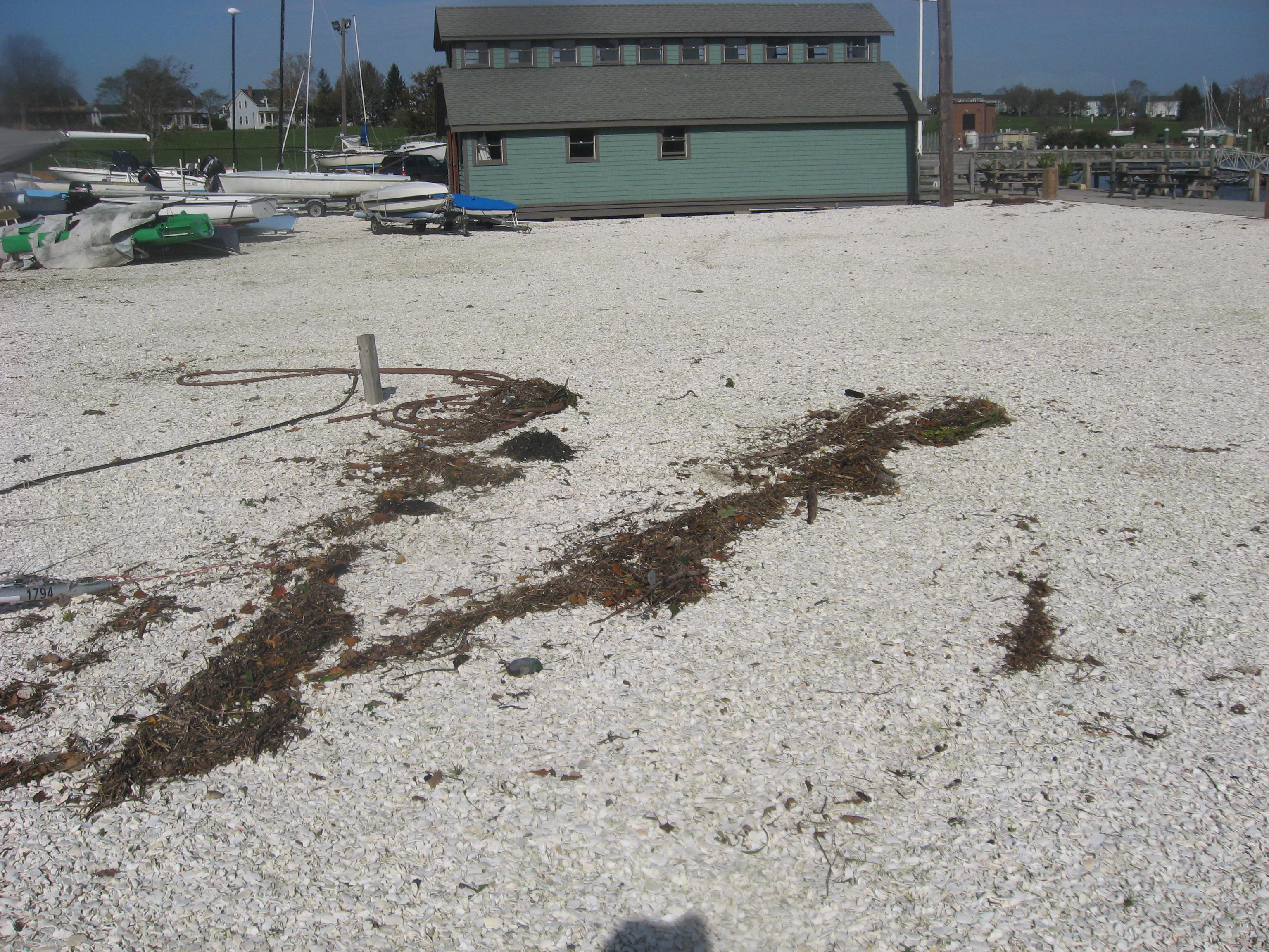
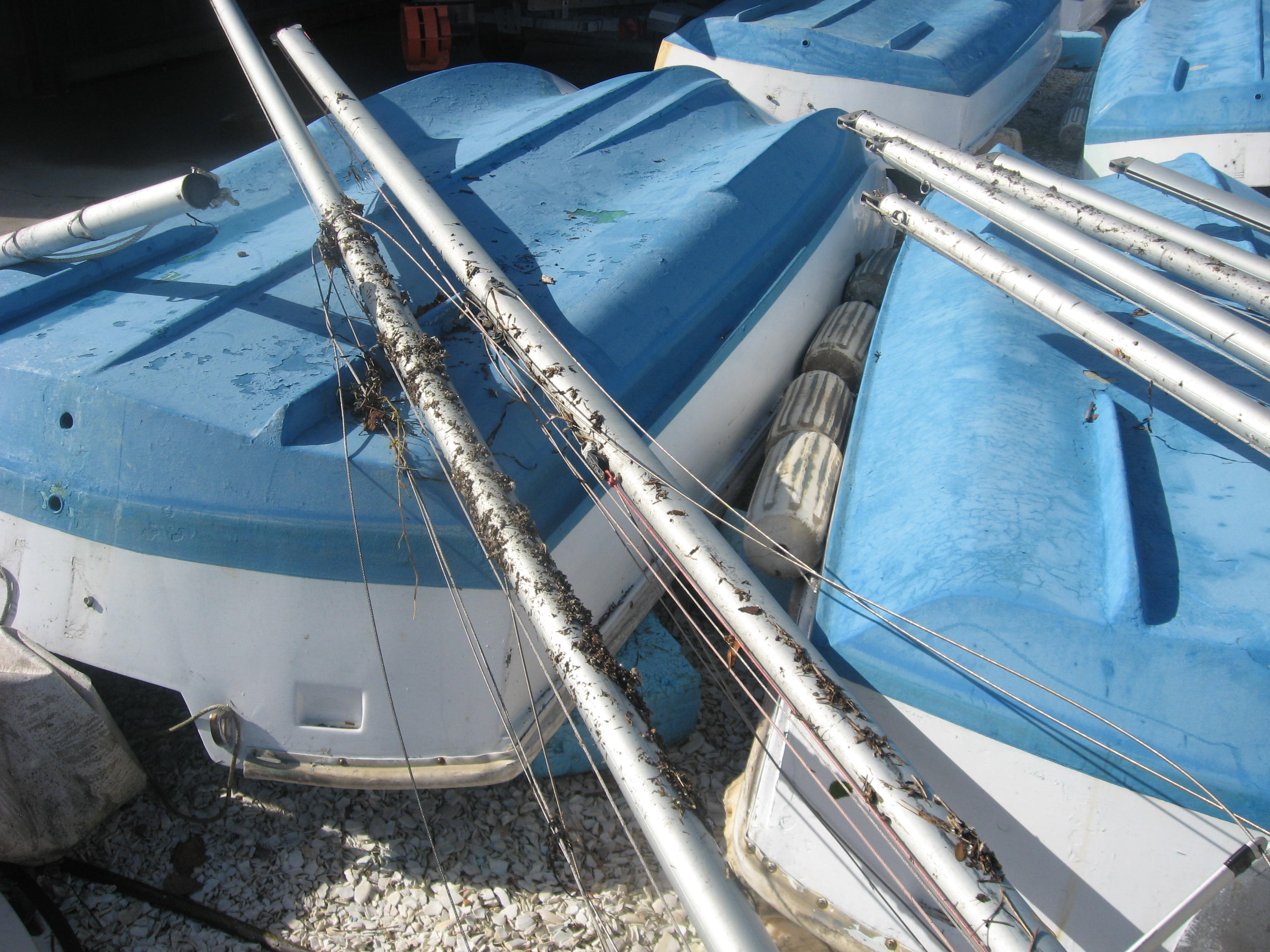
The dinghy boat park at Sail Newport-Usually jam packed with Lasers, Vanguard 15’s, 420’s and some other skiffs- was fairly empty. The “V” shaped weed debris marks the high tide line.
The weed got to these Vanguard 15 spars too.

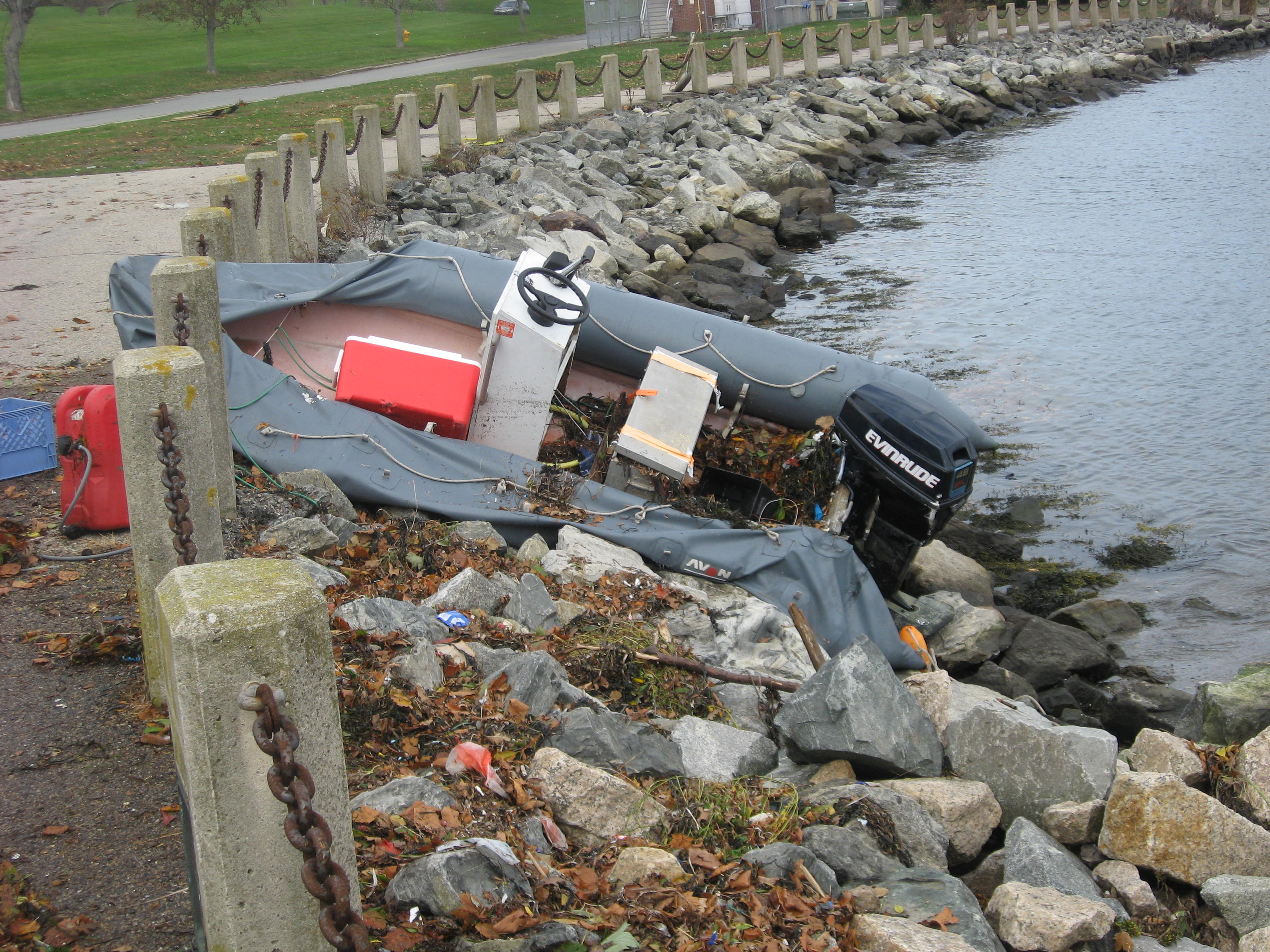
This R.I.B. was the only boat I saw washed ashore.

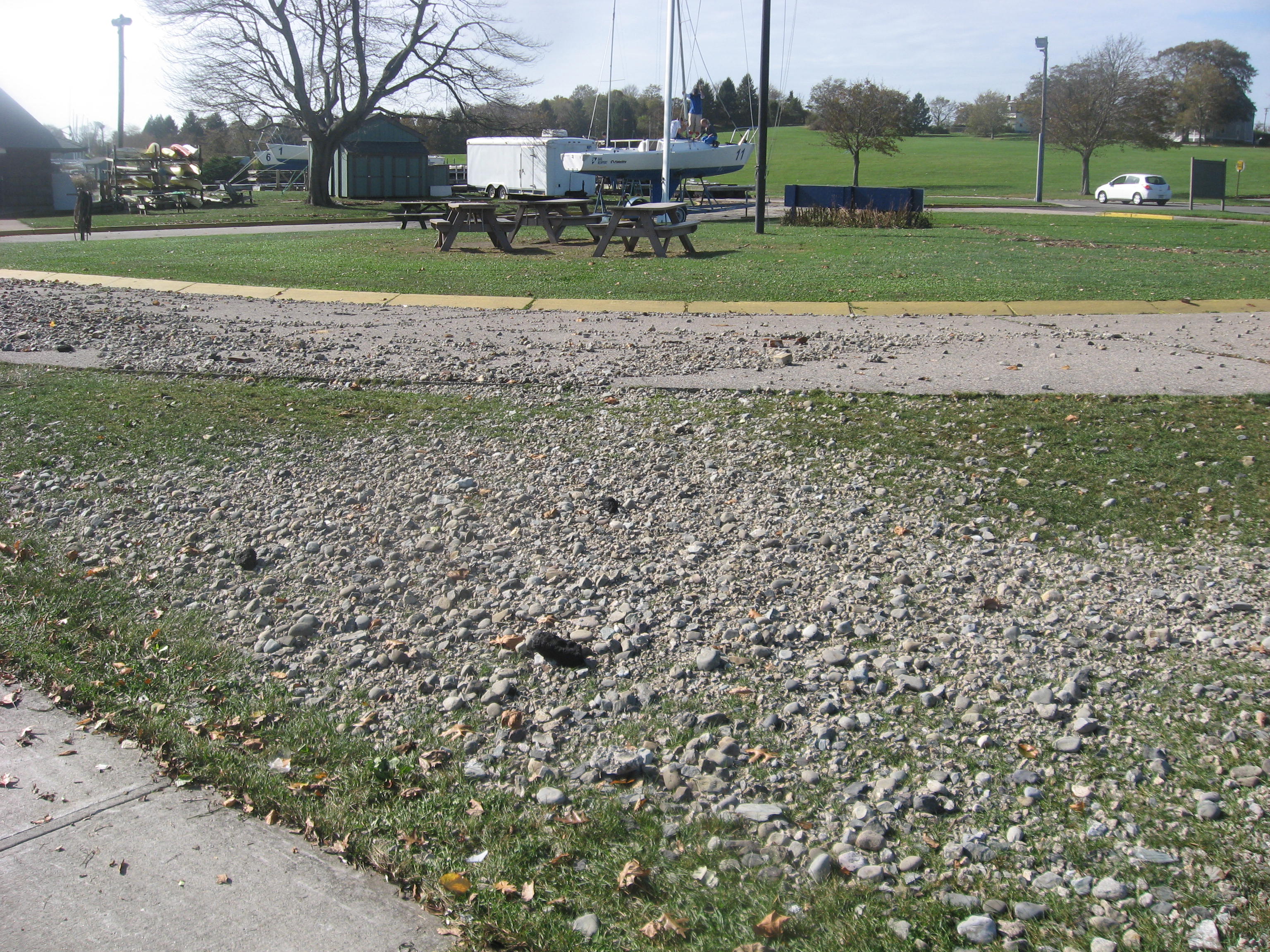
On the north side of Admiral’s Pier (the one with the cranes) the water washed a pile of gravel ashore.
The high tide line from the Admiral’s Pier extended north towards Fort Adams.

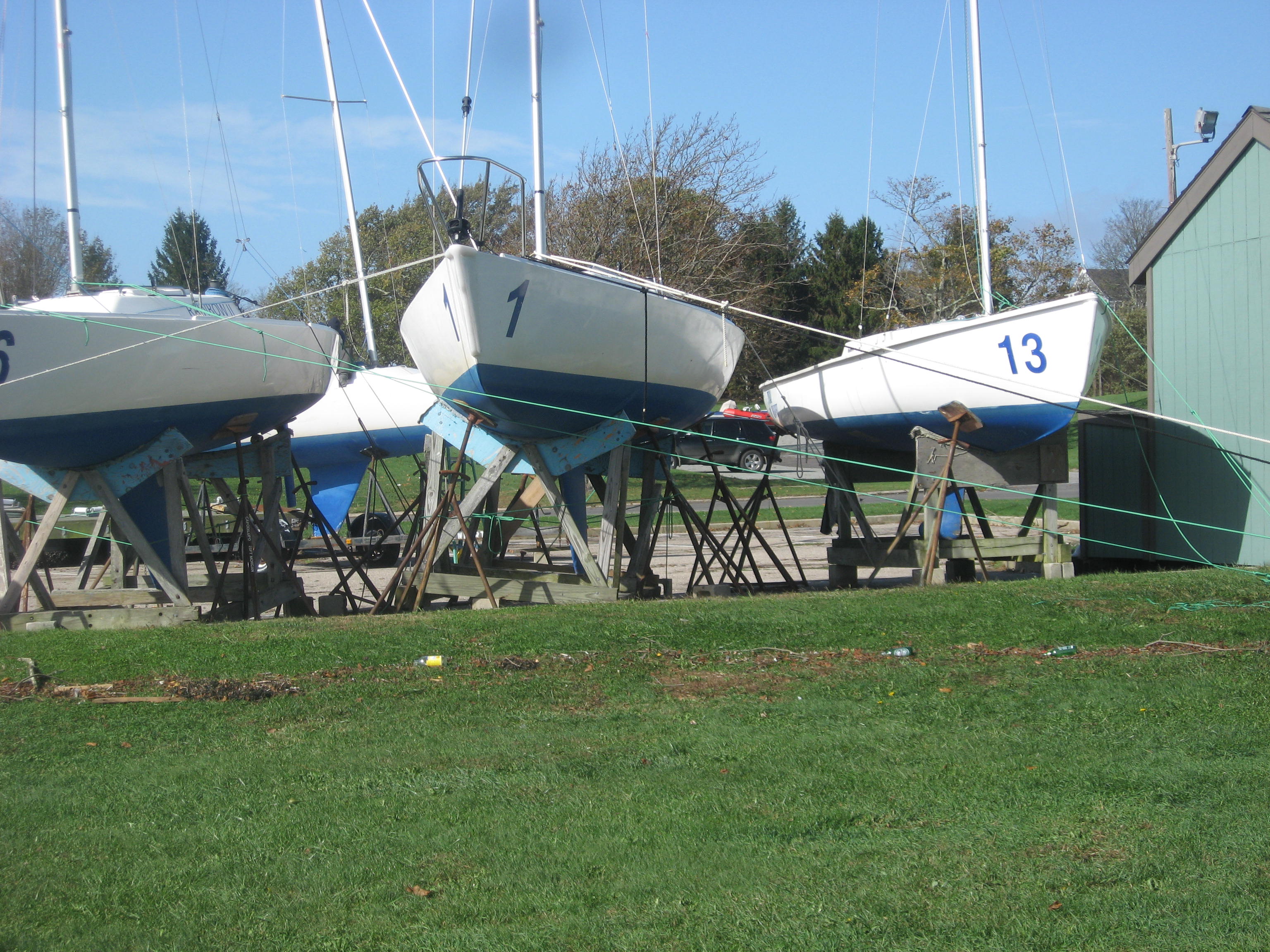
Most of the Sail Newport J-22’s made it OK.

A grand use for your old high test running rigging.

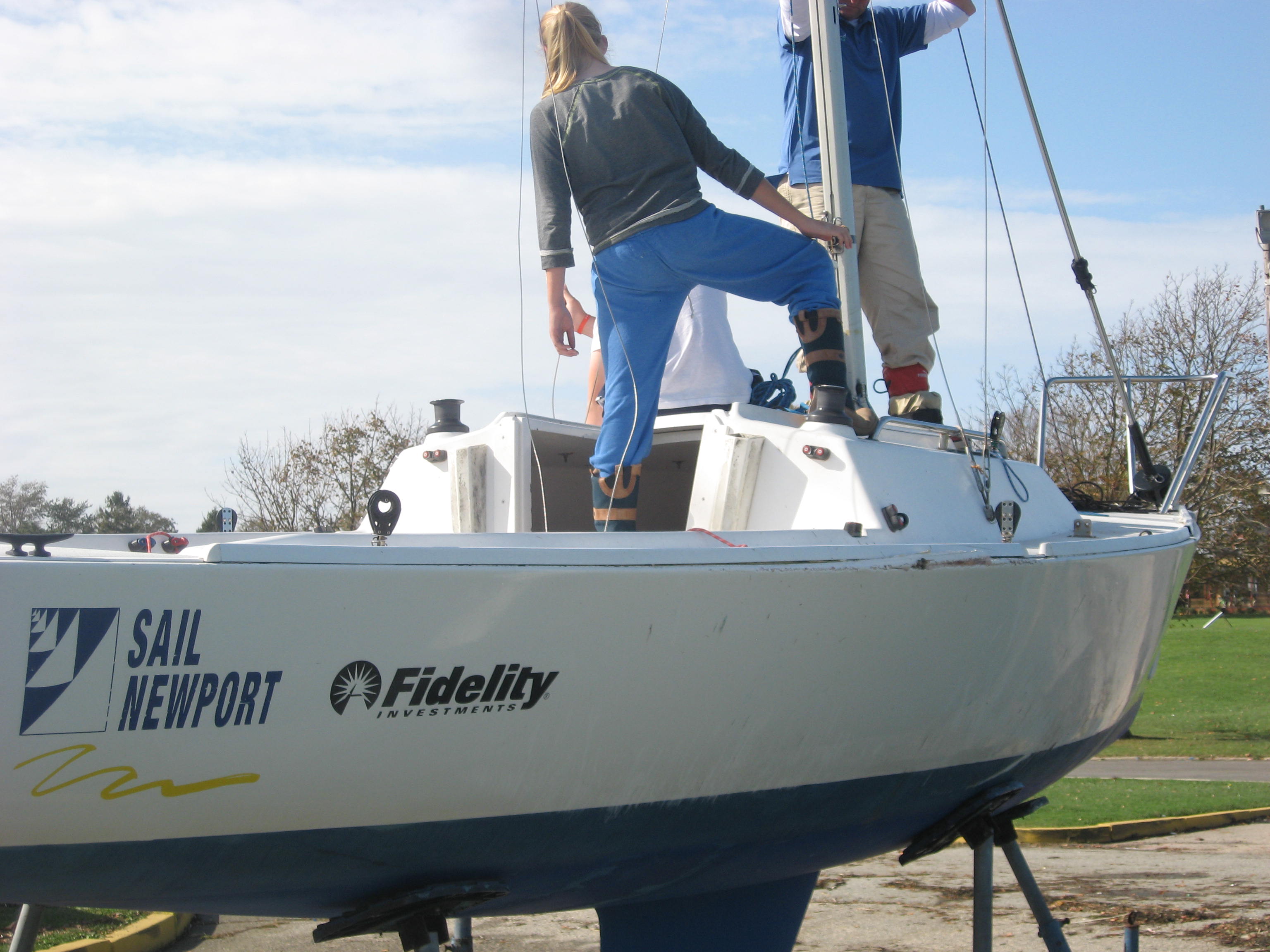
Sail Newport Executive Director Brad Read and his kids pulling a spar from a J 22. This one capsized on its cradle and sustained damage on the starboard gunwale.
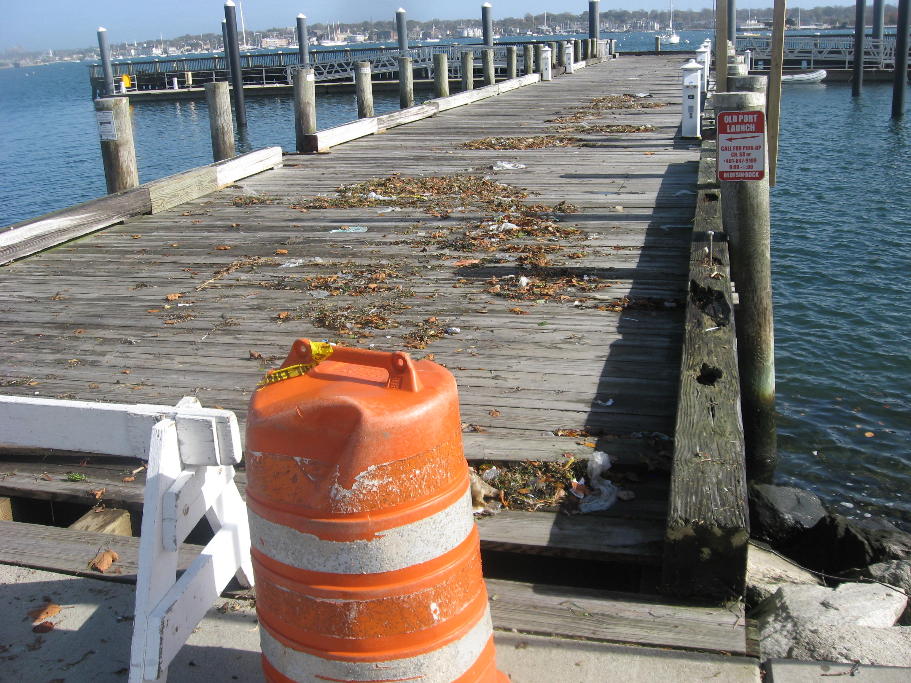
Alofsin Piers-one of the big baulks of timber from the side of the pier was washed into the corner.


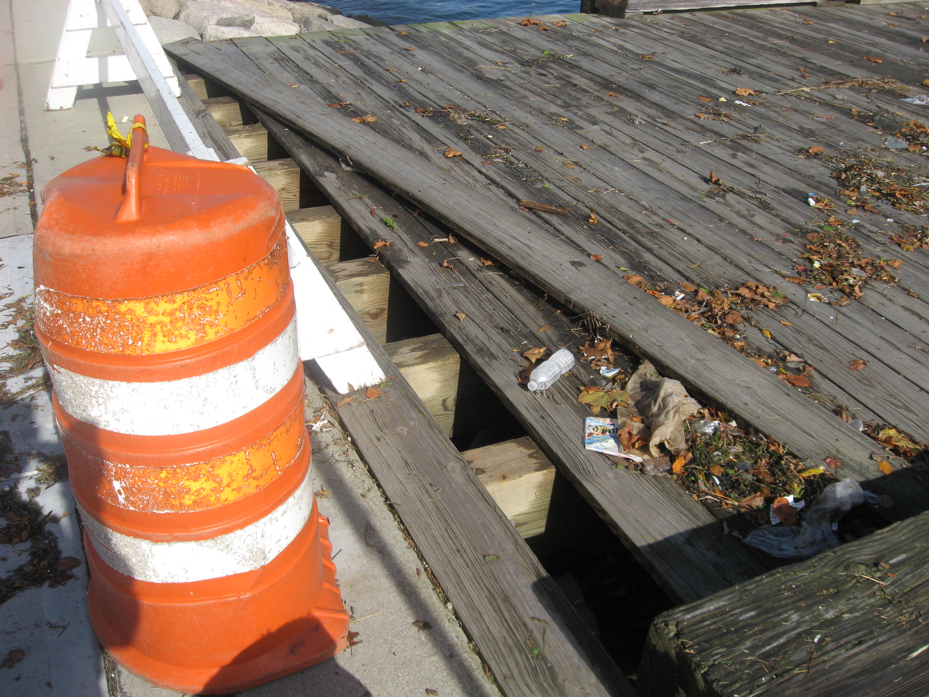
The shore end of the Alofsin Piers, some damage to the decking.

The Alofsin Piers would have been under water at some point. At the peak, about 1500, the Piers and Ft. Adams were dead down wind, with about a one mile fetch across the harbor. Buzzards Tower reported a peak gust of 65 knots about then.

I was out at this time yesterday taking some pictures. I could not post them because I arrived to home to no power and some very wobbly trees.

Sandy from Goat Is to SE to S to Rebecca  Is a video I shoat yesterday.  I could not post it then due to power outage in Middletown.
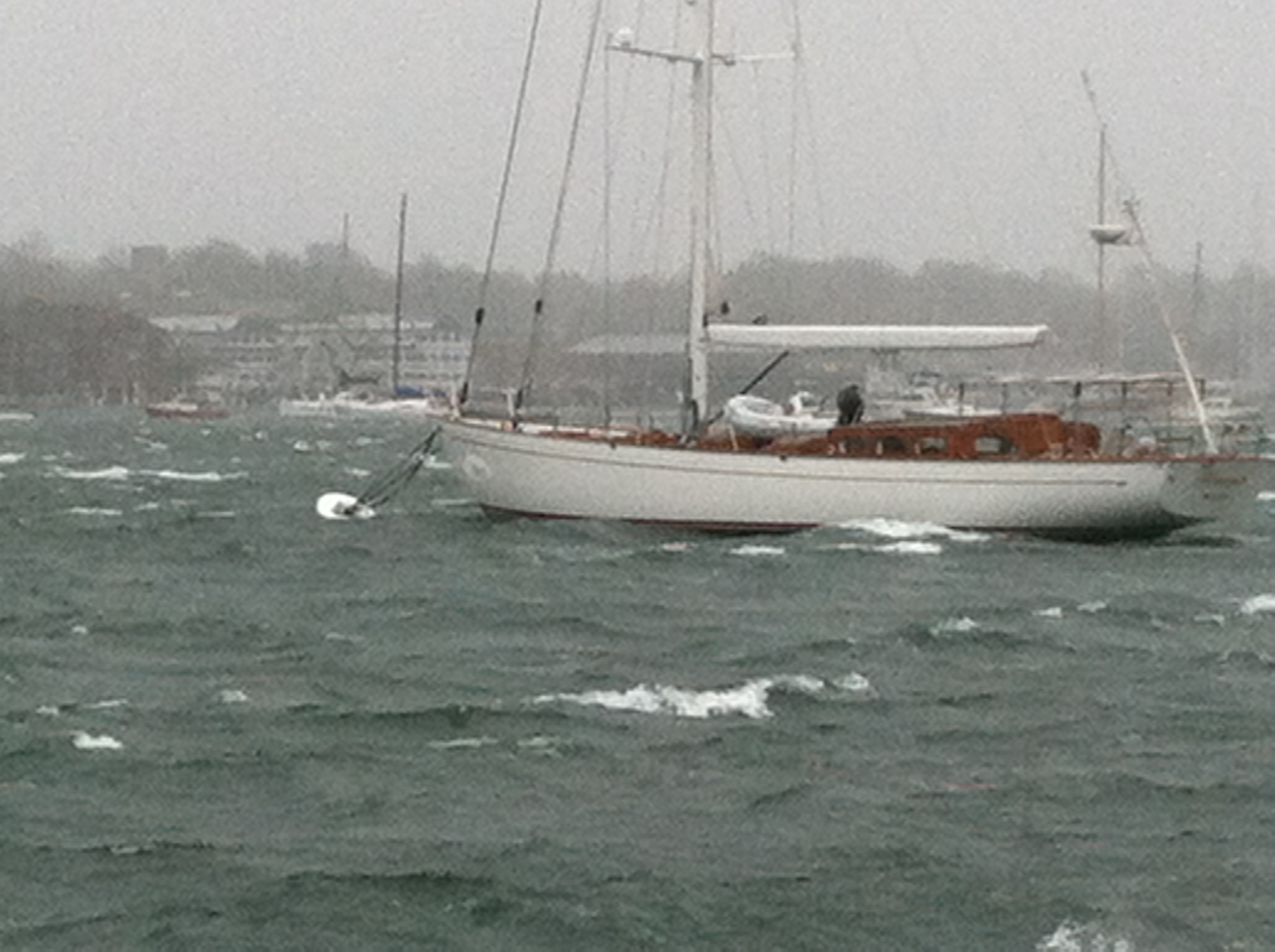
A still shot from Goat Island docks to the SE across Newport Harbor towards I.Y.R.S. This lovely big cutter was one of a few boats in the harbor. Shot about 1500 or so when Buzzards Bay tower reported a gust of 65 knots.

Sandy from Goat Is to SE to S to Rebecca This is another video from Goat Island again looking to I.Y.R.S. and panning to the South.
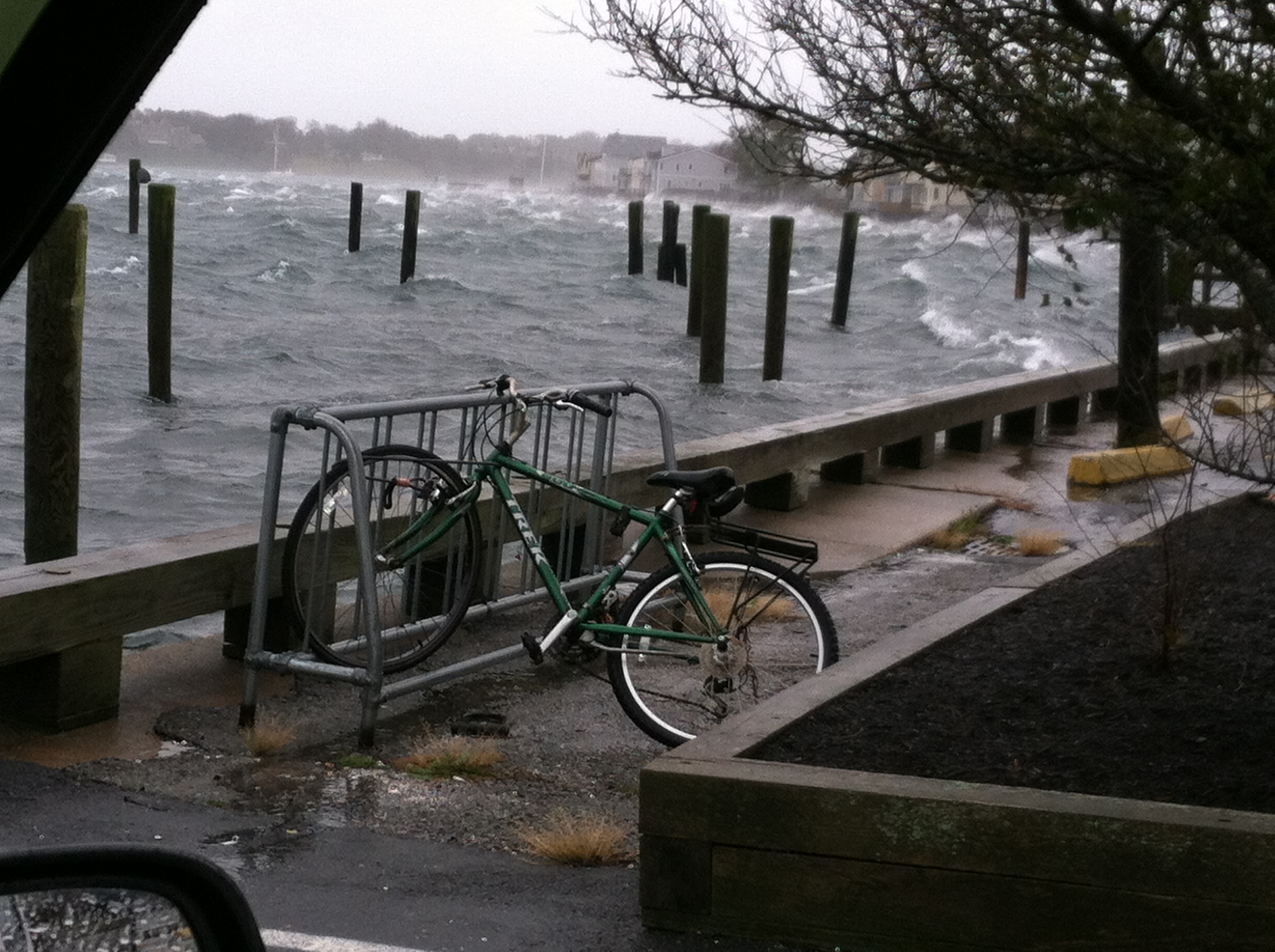
A view to the south from the entrance to the Goat Island Docks showing the back wash up against the Goat Island bulkhead. Tide wise this was all just after low tide….About 1500 or so. High tide on Monday night was @ 2023


Hurricane Sandy, from Newport RI

Newport RI,

Monday 29 October 2012

11:45 eastern.

Just went for a ride around town, out to Sail Newport, Narragansett Ave. at The 40 Steps and back. Town is largely eerily quiet. Basically everything is closed especially along Thames street. The right turn to Wellington ave, at Team One is blocked off although it is possible to get onto Wellington Ave by other routes. Ocean Drive is blocked off at Castle HiIl and likewise Harrison Ave, next to the Golf Club. I did not try any of the other routes- The wind is from the NE so the ferocity will be limited to the ground swell.

Fort Adams/Sail Newport is generally pretty empty except for the keel boats in the fenced off boat park. The eastern lot where the Lasers and V15’s live is pretty empty except for a couple of I-14’s and 49’ers that have capsized on their trailers. Several cars were outside the SN offices. I recognized them as belonging to the Staff.

I drove back along Wellington ave., which will be under water at the next high tide, about 2023 this evening, the breeze was coming on in a significant way, solidly over 40 with higher gusts.

Last stop was the 40 Steps at Narragansett Ave. Several cars were lined up with the passengers having a look at the conditions and several Salve kids getting wet in the light, misty spray of a rain. When I pulled up there was a Newport Police Supervisor SUV there. A second police car arrived and all three officers got our,  put their yellow vests on, with purpose and hustled off to the south along Cliff Walk. I got in the car and drove home….

Some images from this foray:

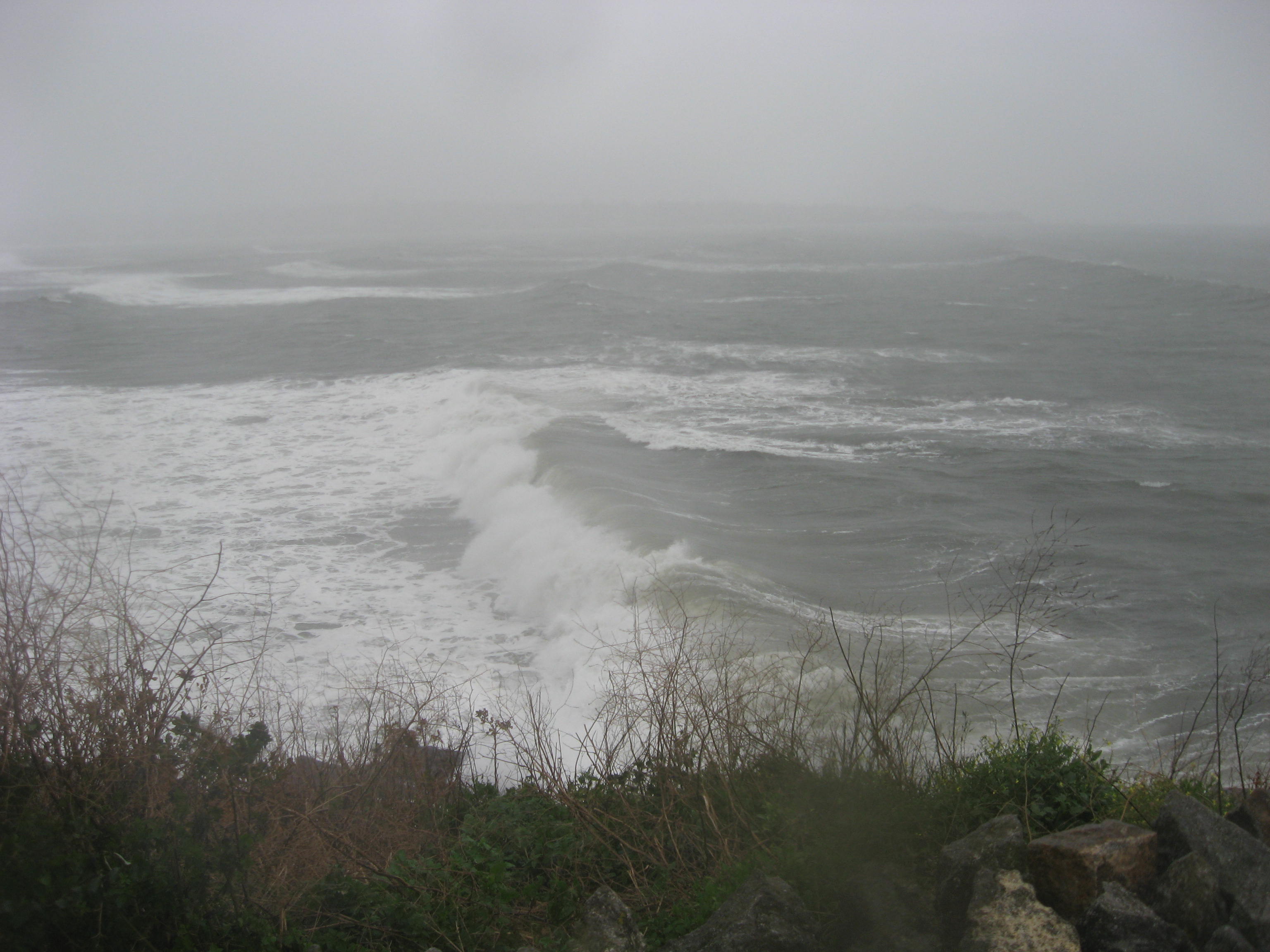
The view from the top of The 40 Steps. I reckon the swell is around 12-14 feet. As always a picture does not do justice to the actual conditions.

Looking north across the entrance to the M.O.Y. small boat basin

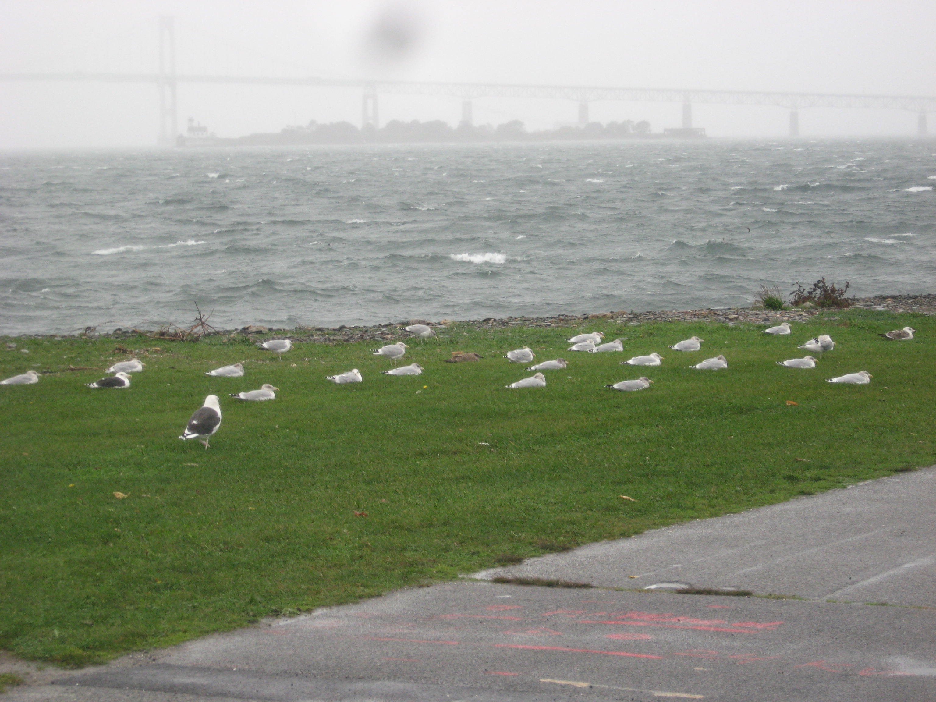
Seagulls hunkered down at the north end of Ft. Adams-Looking to the N and Rose Is. Wind is about 40 from the NE….

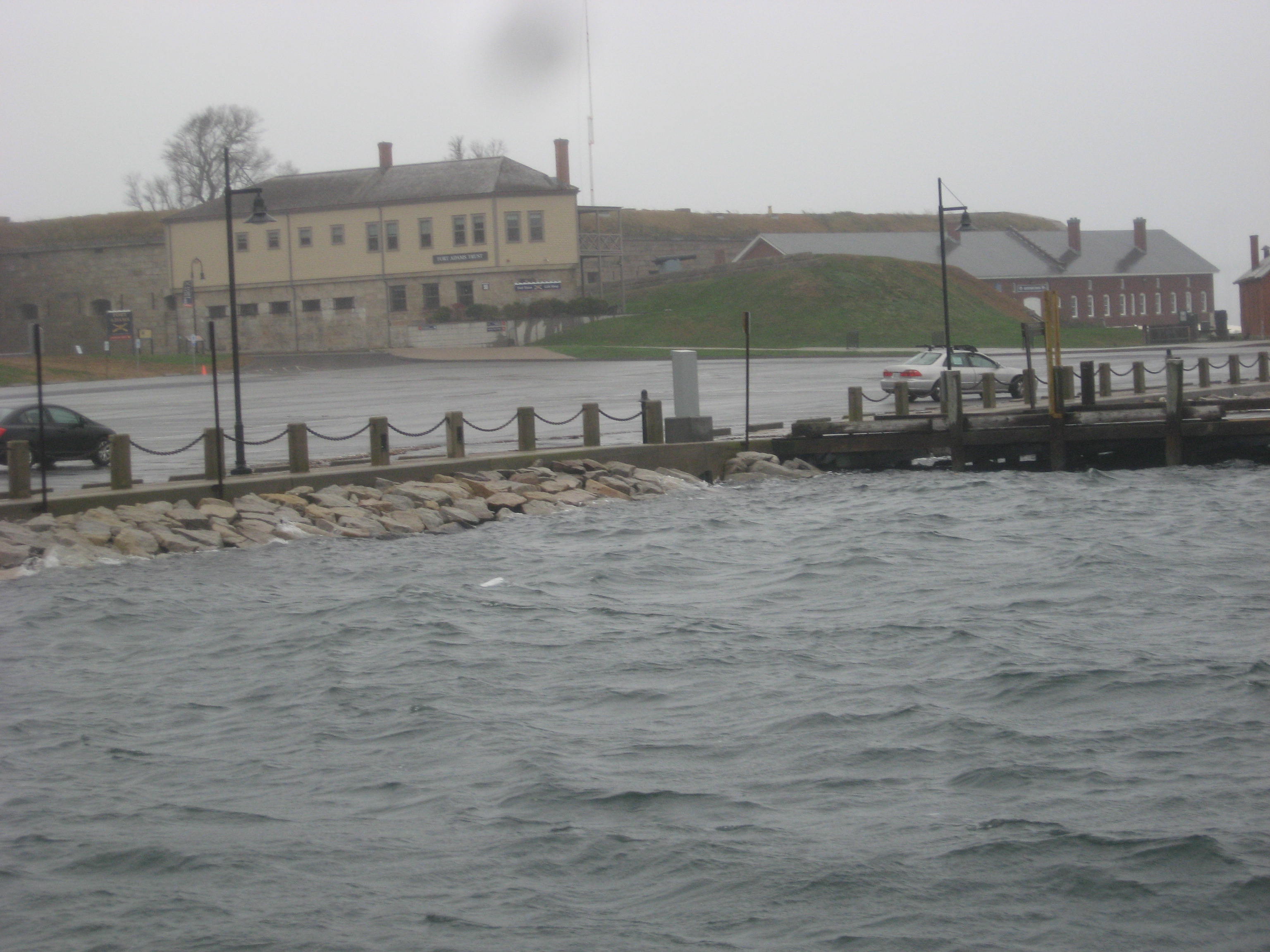
The situation at the Alofsin Basin at Ft. Adams, 3 hours after high tide….

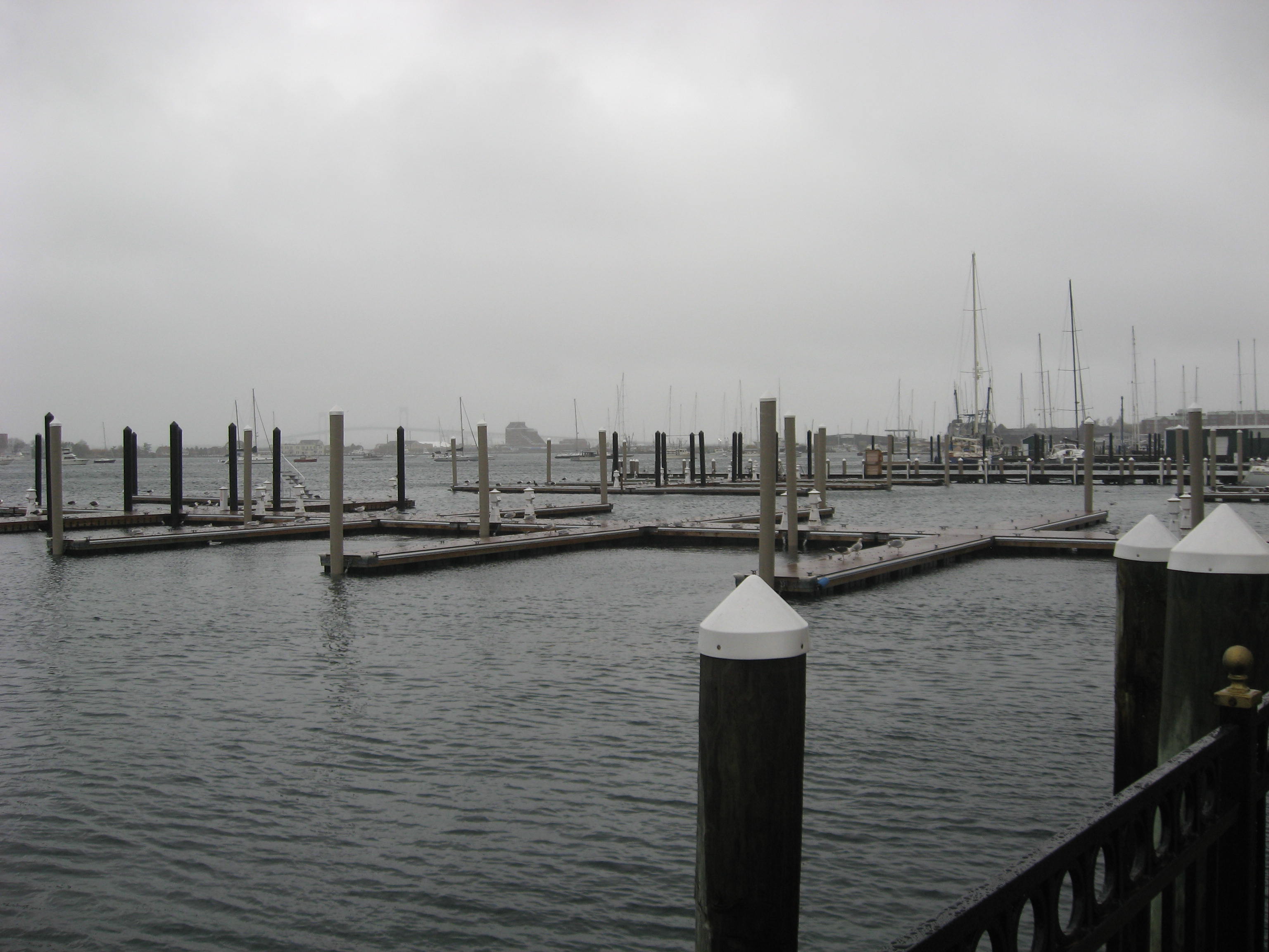
View from Howard Wharf at the Vanderbilt Condos dock, looking to the NW over to Newport Shipyard

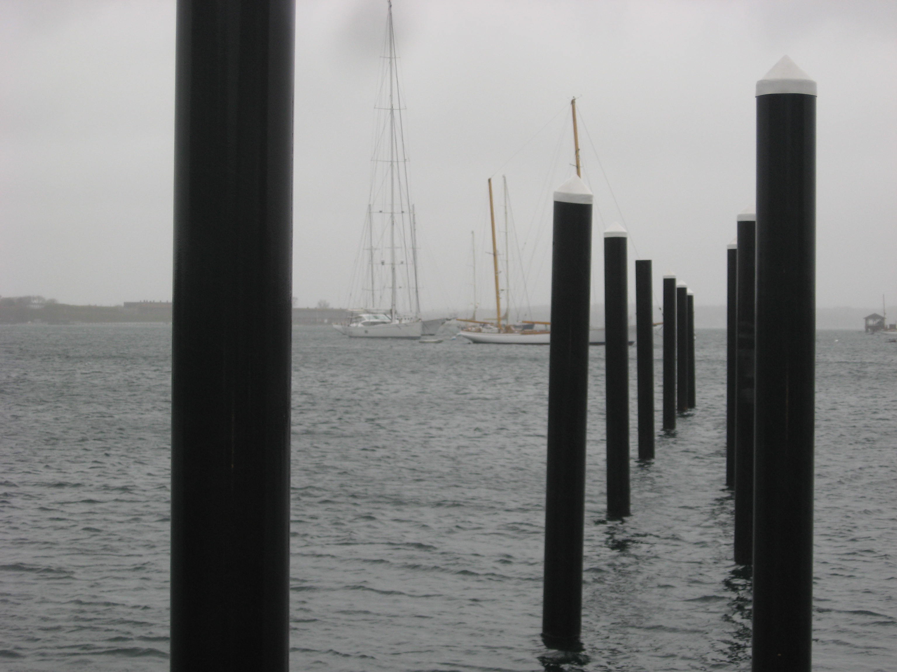
Newport Harbor looking to the SW across to Ft. Adams from Howard wharf at the Vanderbilt condos. Artemis is to the south of Whitehawk, or maybe Ti. Rebecca is to the north a bit.

This just in from Ralf Steitz, the very salty Head Offshore Guy at Kings Point concerning the Bounty situation. Not good, at least for two crew

It is blowing a solid 45 outside my window now. A tree just fell in the woods south of me… Looks to be a long couple of days

More as it happens.